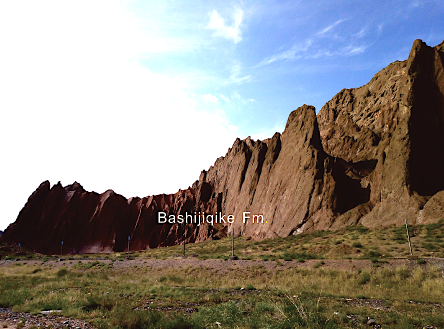
Bashijiqike Fm
Type Locality and Naming
Kuqa Depression, NW Tarim. Huangjiqing (1943) erected the Bashijiqike System in Bashijiqike section of the Kuqa County, Xinjiang (E83°17′, N41°13′). Si Xingjian (1964) renamed it as the Bashijiqike Formation. Lin Juntang (1965) divided it as two parts. The lower part was named as the Sugan group; and upper as the salt-bearing formation. The reference section is at Kuqa County, Xinjiang.
Synonym: Bashkichick Fm
Lithology and Thickness
The Bashijiqike Formation can be recognized into two parts by coarser in the lower and finer in the upper. Lower part is composed of mulberry and brownish conglomerates. Upper part is dominated by pink sandstones, with intercalations of grayish green and greenish yellow sandy mudstone.
[Figure: Bashijiqike Formation in Kuqa River section, Kuqa County, Xinjiang]
Relationships and Distribution
Lower contact
The formation contacts conformably (?) with the underlying Kapushaliang Gr (Baxigai Fm). However, shown as major disconformity (nearly entire Late Cretaceous absent) onto Baxigai Fm by Dangpeng Xi, Xiaoqiao Wan, et al. (2019; Integrated Stratigraphy and TimeScale of China)
Upper contact
The formation is disconformable or conformable with the above Paleogene strata (Talak Fm).
Regional extent
It distributed in Kapushaliang, Jielieweiqieke and Kalesu the area of Kuche (Kuqa) County, Xinjiang.
GeoJSON
Fossils
None listed
Age
Depositional setting
Additional Information
